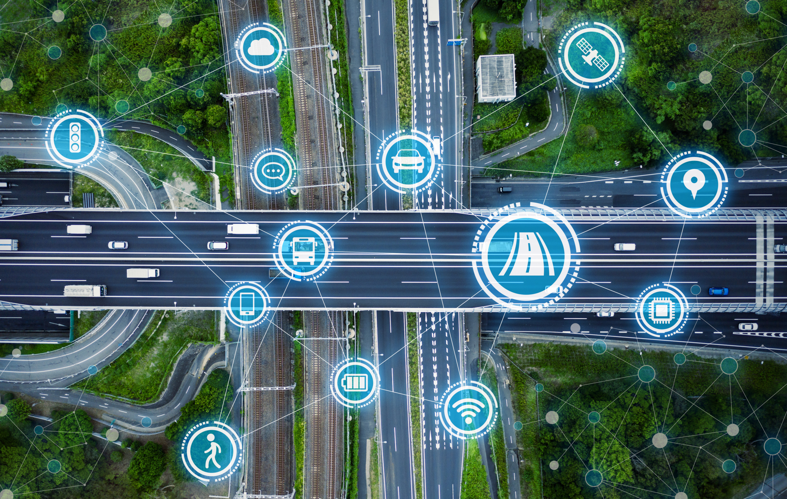
SYNCHROMODE is a three-year Horizon Europe (2023-2026) project that will deliver a suite
of services for improving the overall transport network management, fostering the
coordination of different agents involved in the provision and control of the transport
services. These services are:
The project aims to develop data driven ICT tools for improving the management of transport operations from a multimodal perspective and managing the overall transport network as a whole. SYNCHROMODE will provide to transport managers new predictive and network optimization capabilities for balancing the transport supply and demand, and capable of reacting to different types of events.
Following the guidelines for Data Spaces provided by Gaia-X, the objective of this service is to provide a digital ecosystem for the network-wide collection, exchange, integration and fusion of data across the multiple stakeholders involved in multi-modal transport network and traffic management, in a trustworthy, safe, (cyber)secure and interoperable way. This service will be also used to feed the next two services and to expose data or information produced by the other two services.

The aim of this service is to provide traffic managers with an overview of the current and future short-term status of the entire transport network, including both passenger and freight. To this end, the system will allow the visualisation of geo-referenced information, graphs and performance indicators. In a more specific way, this cooperative dashboard service will provide the following functionalities:
Transport supply monitoring and prediction, including traffic, public transport, freight and new mobility services (bike sharing, scooter sharing, etc.).

Transport demand monitoring and prediction also including traffic demand, public transport, freight demand and new mobility services.

Incidents and non-recurrent events monitoring and detection, for the visualization and early detection of foreseen and unforeseen events, including bottlenecks.

This Dashboard will be shared among the different stakeholders of the transport network, with access to information and permissions adapted to each profile, with the aim of creating a good Situational Awareness that facilitates the resolution of incidents. Furthermore, this service will introduce:
The aim of this service is to support traffic managers at both operational and tactical level to better balance demand and capacity of the transport network considering multi-modal passenger and freight flows. To this end, this service will support them for selecting the best response plans/intervention both in day-to-day operations and in dealing with major foreseen and unforeseen events to improve safety, security, resilience and overall performance of the entire transport network. This will be achieved by the orchestration of the data analytics, algorithms, models and techniques developed in the project. In addition, the response plans provided by this service will have a cooperative approach, as it will involve the coordination of actions of different stakeholders, in order to make the response completer and more robust. To this end, the system will also consider the preferences and trade-offs of the actors involved. This service will include the following sub-services:
The objective of this sub-service is to support real-time decision making for both day-to-day management of the transmission network and event management. To this end, making use of the functionalities of service 1, the system will continuously monitor the current and future status of the transport network, and in case of incidents, it will notify the manager and guide him/her in the selection of the most appropriate response plans. One of the main innovations of this sub-service to develop more effective response plans will be a standardized communication channel with content service providers (e.g., Google maps, Waze), in-car service providers (e.g., Tomtom), MaaS service providers and logistic operators. This communication channel will allow the notification of incidents and suggestion of measures to these actors so that they can subsequently take actions to mitigate the impact of the incident.
The aim of this service is to assist transport managers in designing response plans for both expected (e.g., major roadworks, citywide events) and unexpected events (e.g., health crisis as COVID19) for a better balancing of mobility behaviour, as well as early problem detection and intervention. To this end, this sub-service will leverage the orchestration of the data analysis, modelling, optimization and bottleneck management. More specifically, given an event (e.g., traffic jam), the system will allow the definition of different scenarios (e.g., different levels of rainfall in a flooding episode, different levels of mobility restrictions in a health emergency scenario, etc.) and the typology of response plans to generate for each scenario and the indicators to optimize. Then, the system will provide a set of optimized response plans for each scenario and early detection mechanisms to activate them.